Colibrex, pioneer and worldwide leader in RF measurements via drone
We Offer Smart Drone Solutions For

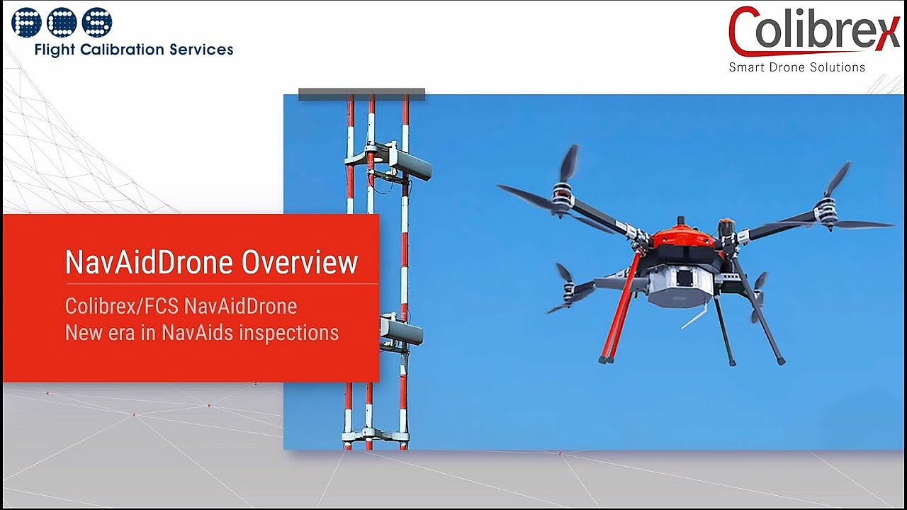
NavAids / ATC
NavAidDrone for ILS & VOR inspection, PAPI calibration, RadarDrone for ATC surveillance systems

RF Monitoring
Airborne Monitoring Unit LS OBSERVER AMU for Spectrum monitoring, DF / Geolocation, inspection of microwave links and much more

Antennas
Measurement and inspection of broadcast antennas and various other types of antennas; Radiation pattern diagrams, beam tilt, null fill
")
Trust the pioneer and worldwide leader of drone-based RF measurement solutions
Where We Have Been Already
Open Google My Maps in a new browser tab
This button leads to Google Maps, a service of Google LLC, 1600 Amphitheatre Parkway, Mountain View, CA 94043, USA ("Google") to display interactive (land) maps for visual representation of geographical information. We as Colibrex do not accept any liability for the content of external links. The operators of external sites to which we link are exclusively responsible for their content.