Our Projects
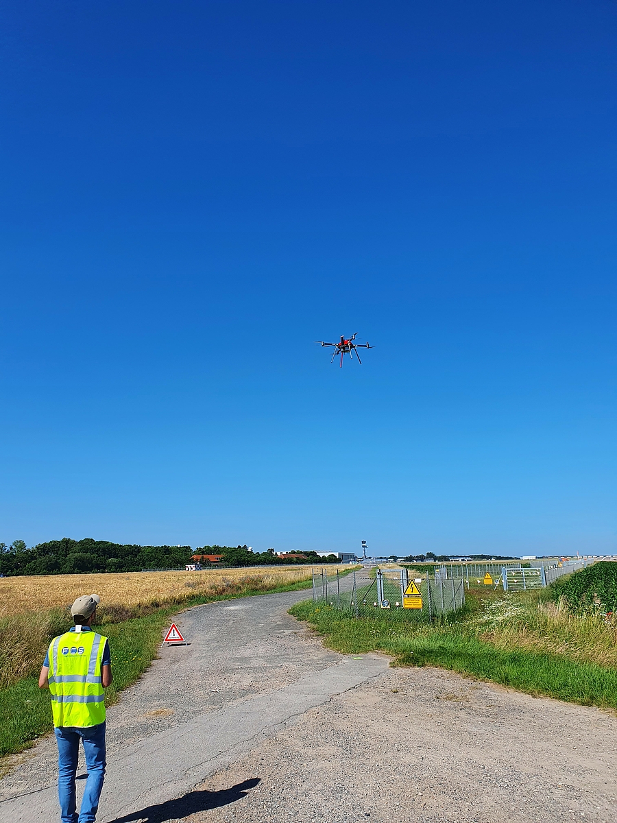
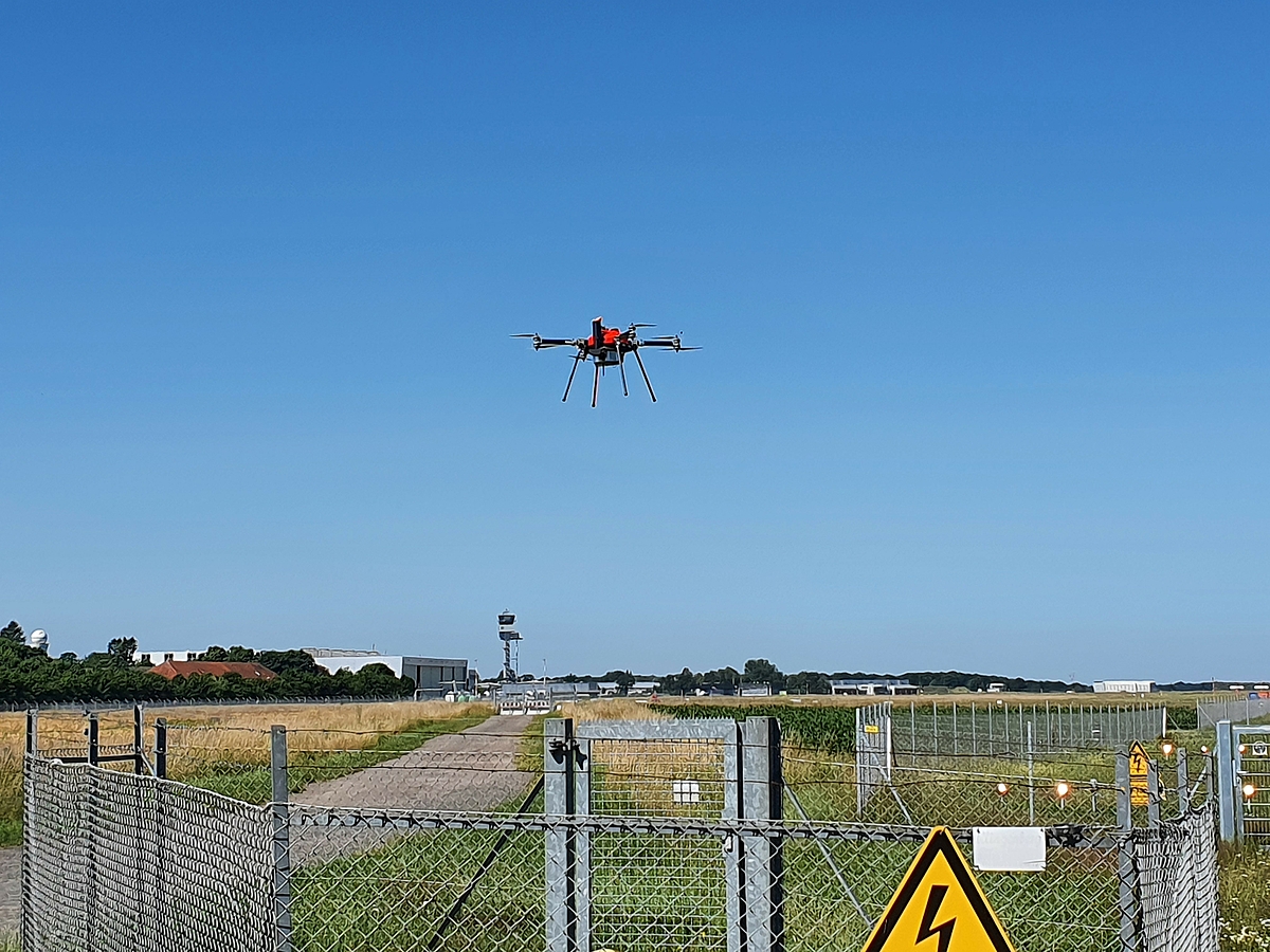
Following the validation of our drone-based ILS measurement technology by the German ATC Deutsche Flugsicherung (DFS), we're going to introduce the NavAidDrone step by step in each DFS regional center. At the Hannover International Airport (EDDV), the ILS of the runway North could be successfully measured. The technicians from DFS did set the glide path in normal operation and in alarm conditions and could then compare the results with previous measurements to validate that the installation was still well adjusted.
Photo | Source: DFS

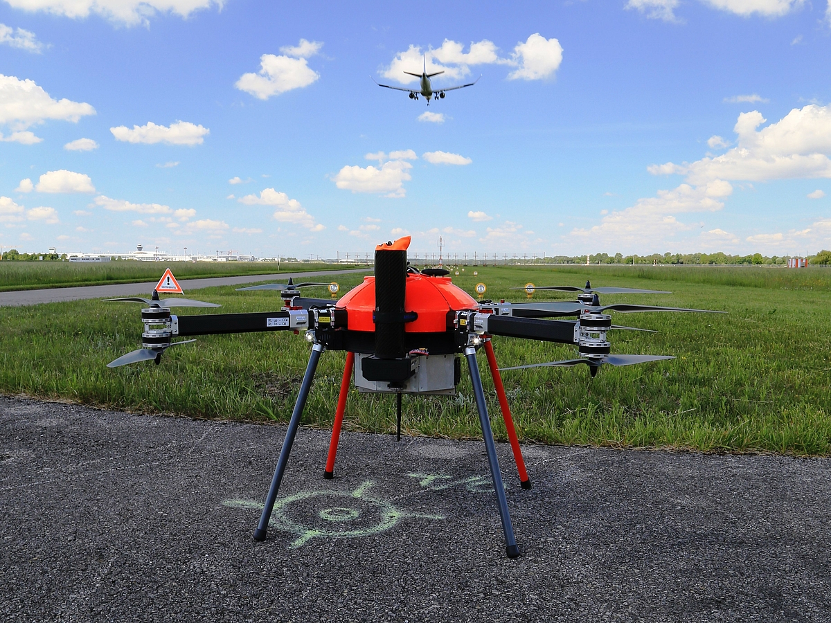
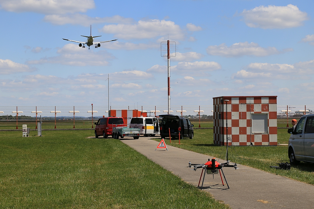
End of May 2020, Colibrex and its partner FCS Flight Calibration Services carried out a series of detailed measurements of the two Glide Path systems of the runway north at the Munich international airport. DFS had the opportunity to organize on the same day measurements realized via flight inspection, NavAidDrone and telescopic mast. Having comparison data are extremely useful to validate such a new system like the NavAidDrone and, in the future, to get exact correlation data with flight inspection.
During these measurements realized by day, it could also be demonstrated how quick it is to realize a single glide path measurement and how to coordinate such short drone flights with the control tower of the airport.
In the meantime the ILS of the runway South has also been measured with the NavAidDrone.
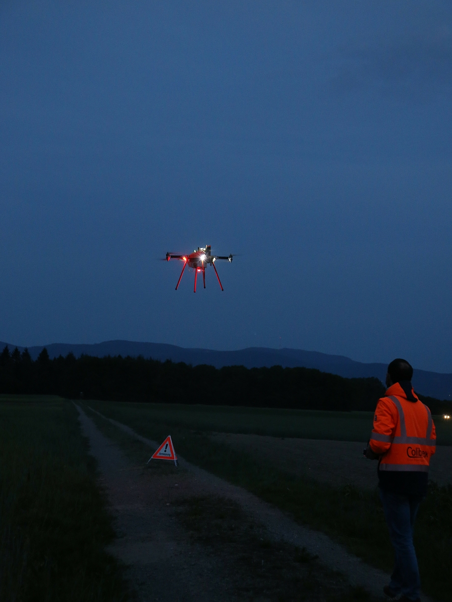
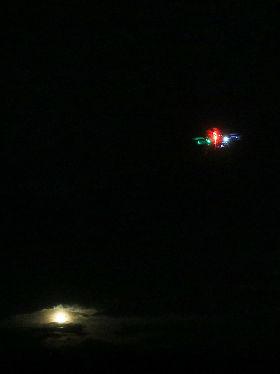
As part of our test & validation flights conducted at our home airport Karlsruhe/Baden-Baden, we gained some useful experience in flying the NavAidDrone by night. The visibility and orientation given by the installed navigation lights could be successfully tested.

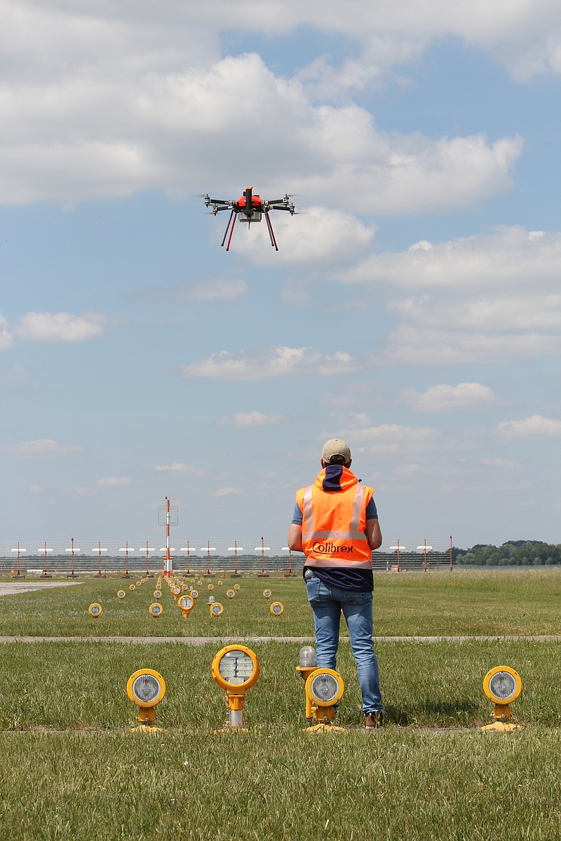
Beginning of November 2018, the NavAidDrone from Colibrex and FCS Flight Calibration Services was employed at Hannover International Airport in Germany during the commissioning of a new Instrument Landing System. As part of the measurement process of the Glide Path antenna, our team conducted several measurement flights to generate very precise DDM (Difference of Depth of Modulation) measurement curves above and below the 3° approach path of the new 09R ILS at 1 km distance from the threshold. The measurement flights were monitored not only in the control tower of Hannover airport, but also at the DFS headquarters in Langen via the new DFS/Telekom U:CON drone tracking system. The flights were very successful and form an important impulse for the rapid operational introduction of measurement drones for ground measurements of the numerous Instrument Landing Systems installed worldwide.